V1 Video

Back
  • Infrastructure
    • News Broadcasts
  • Infrastructure
    • Interviews
      • Autodesk University
      • Bentley CONNECTION Roadshow
      • Bentley Systems Year In Infrastructure Event
        • YII 2015
        • YII 2014
        • YII 2013
      • Esri’s GeoDesign Summit
      • Onsite Interviews
    • Project Showcases
  • Geospatial
    • News Broadcasts
      • Earth Imaging
      • Asia-Pacific
      • Climate Change
    • Interviews
      • Commercial UAV Expo
      • ENVI Analytics Symposium
      • Esri UC
      • GEOINT Symposium
      • HxGN LIVE
      • ILMF
      • Riegl LiDAR 2015
      • Space Symposium
      • SPAR International
      • Trimble
      • Trimble Dimensions
      • URISA GIS-Pro
    • Product Primers
Back
  • Advertise
  • Conference Interviews
    • Autodesk University
    • Bentley Systems Year In Infrastructure Event
      • YII 2013
      • YII 2014
      • YII 2015
    • Commercial UAV Expo
    • Esri UC
    • Esri’s GeoDesign Summit
    • GEOINT Symposium
    • HxGN LIVE
    • ILMF
    • SPAR International
    • Trimble Dimensions
    • URISA GIS-Pro
  • Content Creation Showcase
  • Daily Digests
    • Asia-Pacific
    • Climate Change
    • Infrastructure
    • Earth Imaging
  • Event Overviews
    • Autodesk University
    • Bentley YII15
    • Esri UC
    • Geodesign Summit
    • GEOINT Symposium 2013*
  • Found on the Internet
  • Onsite Interviews
    • Kleinfelder
  • Product Primers
  • Project Showcases
  • Promos and Demos
  • Vendor Videos
    • Autodesk
    • DigitalGlobe
    • Esri
      • Climate Resilience App Challenge
    • Google
    • ikeGPS
    • Leica Geosystems
    • Skybox
  • Subscribe

conference

What Is the Geodesign Summit?
Content Creation Showcase Esri's GeoDesign Summit Event Overviews Geodesign Summit

What Is the Geodesign Summit?

September 3, 2014 | 0 Views
Conference Recap from Las Vegas (Autodesk University, Breaking News, Quadrocopters and other Innovations)
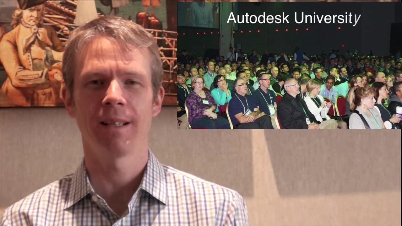
Daily Digests

Conference Recap from Las Vegas (Autodesk University, Breaking News, Quadrocopters and other Innovations)

December 9, 2013 | 0 Views

Advertisement

  • Popular
  • Recent
  • Comments
  • Tags
  • What Is the Geodesign Summit?

    What Is the Geodesign Summit?

    9 years ago
  • Kleinfelder Interview – Rod Eisenbraun, National Dam and Levee Segment Manager

    Kleinfelder Interview – Rod Eisenbraun, National Dam and Levee Segment Manager

    8 years ago
  • 11_6 Trimble Dimensions Broadcast (Event Recap, Highlights and News)

    11_6 Trimble Dimensions Broadcast (Event Recap, Highlights and News)

    8 years ago
  • Geodesign Leader Discusses Concepts from “Earthship” Home

    Geodesign Leader Discusses Concepts from “Earthship” Home

    8 years ago
  • URISA’s GIS-Pro 2014: Big Results in Big Easy

    URISA’s GIS-Pro 2014: Big Results in Big Easy

    8 years ago
  • Arcadis CEO Discusses Company Growth and Client Diversity

    Arcadis CEO Discusses Company Growth and Client Diversity

    7 years ago
  • IMAGINiT Talks BIM and Lifecycle Management

    IMAGINiT Talks BIM and Lifecycle Management

    7 years ago
  • JE Dunn Construction Puts a Lens on Estimating

    JE Dunn Construction Puts a Lens on Estimating

    7 years ago
  • 1_7 New Year Broadcast (Predictions for 2016, Weather Monitoring and More)

    1_7 New Year Broadcast (Predictions for 2016, Weather Monitoring and More)

    7 years ago
  • Australian Engineers Using BIM on Major Projects

    Australian Engineers Using BIM on Major Projects

    7 years ago
Bentley Systems Daily Digest Daily Digests Earth Imaging Esri geospatial GeoSpatial Stream GIS infrastructure Internet interview Matt Ball NASA Todd Danielson Trimble

LizardTech GeoExpress

Most Views Posts

  • National Forest Monitoring and Assessment Program
    - 0 Views
  • Esri App Challenge Winners Create Actionable Tools to Strengthen Resilience EffortsEsri App Challenge Winners Create Actionable Tools to Strengthen Resilience Efforts
    - 0 Views
  • Bhupinder Singh Interview Full VersionBhupinder Singh Interview Full Version
    - 0 Views
  • Carl Steinitz Discusses Increased Dangers and Urgency at the Geodesign SummitCarl Steinitz Discusses Increased Dangers and Urgency at the Geodesign Summit
    - 0 Views
  • Esri’s Director of Solutions Discusses Apps, Simplicity and PassionEsri’s Director of Solutions Discusses Apps, Simplicity and Passion
    - 0 Views

Categories

Advertisement

© Copyright 2023 V1 Video - Proudly designed by Theme Junkie